A map printed in 1916 can show a Savannah that changed long afterward. In the city's municipal collection, paper revisions were pasted onto older sheets through 1953. Later information sits over earlier printing, preserving a working map in layers.
The Sanborn maps were tools for fire insurance. Their makers recorded a building's construction, roof, windows and fire protections, along with street widths, building uses and property boundaries. The detail helped insurers judge the hazards attached to a particular property.
The collection reached the Municipal Archives from the Metropolitan Planning Commission in 2021. Its online list distinguishes each volume's base date from its updates: two begin with 1916 maps and carry revisions through 1953; another begins in 1955 and includes changes through 1973. The oldest printed date cannot account for everything visible on a revised sheet.
The archive also kept purchase receipts, correspondence and the original binders and sleeves from the three 1955 volumes. These practical objects belong to the maps' history as tools that were bought, used, updated and eventually preserved.
Digitized volumes make it possible to explore one block at a time. Check the base date, then the revision date. Between them lies the reason for the pasted paper: a city kept changing, and its maps had to keep up.
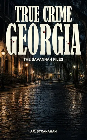
Explore the regional book
The Savannah Files follows the Gribble House murders, the trials after Danny Hansford's death and other cases across Savannah and coastal Georgia. Explore the people and proceedings connected with this region.

 Place & archive